


Nov 26, 2025


Nov 19, 2025


In researching the last Waterways We Love series, the United States Army Corps of Engineers, or USACE, surfaced around every corner, They have had enormous input into the creation and maintenance of most major waterways in the United States. In delving further into its work, a fascinating story of its projects and their effects on pleasure boating in the United States has to be told. The USACE story is so huge that even brushing the surface requires a two-part series.
Part One dealt with the inception of USACE in 1802 forward until the early 1900s.
Between Lake Itasca and the twin cities of Minneapolis/St. Paul, a distance of roughly 200 miles (320 km) along the Mississippi are some 14 dams. But there are no locks, so no through-boating is possible unless you are able to portage or trailer your boat. Each of these dams forms a sizeable lake behind it which supports and encourages all manner of recreation including boating, fishing, and outdoor activities as well as providing hydroelectric power.

Immediately north of Minneapolis/St. Paul is the last of these dams, the Coon Rapids Dam, constructed in 1914 to provide hydroelectric power to the local county. Under control of USACE, these dams also store and control the release of spring runoff water to the rest of the Mississippi to maintain optimum navigation water levels. Congress approved the 1928 Flood Control Act and placed its implementation under the control of USACE. This act launched what today is called the Mississippi River and Tributaries Project. This project has prevented over $100 billion worth of flood damage since 1928.
Still called the Upper Mississippi, between Minneapolis/St. Paul and the confluence of the Mississippi River with the Missouri River at St. Louis, are some 29 locks and dams, each capable of handling the busy commercial barge traffic on the river and each built and maintained by USACE.
The physically largest lock and dam is #19 at Keokuk, Iowa, some 100 miles (160 km) upstream from St. Louis. Re-constructed in the mid-11950s, the dam itself is over three-quarters of a mile (4.620-ft or 1,408 m) long with 119 separate moveable gates. The navigation lock is the standard commercial size 1,200 feet (366 m) long by 110 feet (34 m) wide and with a vertical lift of 38 feet (12 m). It can accommodate a full length of barges. The powerhouse with its 15 generators was once one of the largest hydro-generating facilities in the world.
The majority of the locks and dams on the Upper Mississippi River, specifically those associated with the 9-foot channel project, were constructed between 1930 and 1940. The most northerly such lock and dam is St. Anthony Falls in Minneapolis with a vertical lift of 49 feet (15 m), the highest lift (or drop) of all 29 locks and dams. The Lower St. Anthony Falls Lock and Dam was completed and opened in September 1956. The Upper St. Anthony Falls Lock and Dam was completed and opened in 1963. There are no dams or locks south of St. Louis as the Illinois, Missouri, Arkansas, and especially the Ohio Rivers supply enough water to the Mississippi for navigation purposes.
The Federal Government had purchased this canal and immediately USACE was charged with its reconstruction, the addition of several bridges, and its deepening to 12 feet. It soon became part of the Intracoastal Waterway (ICW).

Completed in the early 1920s by USACE, the Cal-Sag Channel, shortened from its full proper name, the Calumet-Saganashkee Channel, runs 16 miles (26 km) joining the Calumet River from Lake Michigan to the Chicago Sanitary and Ship Canal. Instead of draining into Lake Michigan, the Calumet River now drains westward. There is one lock, the O’Brien Lock, with water control where the Little Calumet River joins the man-made channel from there to the Sanitary and Ship Canal.
A massive shifting sand bar along the mouth of the Columbia River has always been a hazard to navigation on the river. In 1891, the river entrance was dredged and a 25-foot deep (7.6 m) channel created from the ocean some 65 miles (105 km) inland to Portland/Vancouver, Oregon.
The Bonneville and Grand Coulee Dams were authorized in 1933 by President Roosevelt as part of his New Deal. Today there are fourteen dams on the mainstem Columbia River, eleven in the US and three in Canada. Four locks on each of the lower mainstem Columbia and lower Snake Rivers constructed and managed by USACE allow commercial and pleasure boat navigation the 465 miles (750 km) inland from the Pacific Ocean to Lewiston, Idaho.
In perspective, there are somewhere close to 400 dams for hydroelectric, flood control, and irrigation purposes on the Columbia and Snake River systems and tributaries. There are also some 250 reservoirs. Most, but not all, of these were constructed by USACE.
In 1924, the government formed and incorporated the Inland Waterways Corporation which began authorizing the construction by USACE of various sections of the Intracoastal Waterway. Later, the sinking of many merchant ships by German submarines in open water during World War II proved the need for the completion of the ICW. The 3,000-mile (4,800 km) ICW as we know it today from Massachusetts south to Key West on the Atlantic Ocean and except for some small sections, up and around the Gulf Coast to Brownsville, Texas, was finally completed in 1949. This was almost two hundred years since it was first considered and over one hundred years since the completion of the first small section.

Flowing into San Francisco Bay, the confluence of these two rivers provides a combined 1,100 miles (1,770 km) of incredible pleasure boating in their combined deltas and upstream in their individual rivers. There is 256 miles of ocean-going commercial and pleasure boating as far as Sacramento, and 366 miles upstream on the San Joaquin River to the Sierra Nevada.

USACE provided initial dredging and an extensive levee system to create and maintain navigation channels. It has since maintained the entire system and in 1963, completed the 30-foot deep (9.1 m) 43-mile long (63 km) Sacramento Deep Water Ship Channel for ocean-going ship access to Sacramento.
In 1937, the Okeechobee Waterway (or Canal as it is sometimes called) was built by USACE right across Florida to alleviate the distance and hazards of the Florida Keys. Following a 1947 devastating hurricane, USACE completed a 143-mile (230 km) dike with water control structures around the entire perimeter of Lake Okeechobee to control flooding.
During the early 1900s, dozens of hydroelectric dams were being built in the upper Missouri River and its tributaries between its source and Sioux City. But drought and flooding still occurred, resulting in Congress, through the Flood Control Act of 1944, authorizing USACE to supervise the construction of 15 flood-control dams in the upper Missouri while also producing hydroelectric power.
Six of these dams, ranging from 74 to 250-feet (23 to 76 m) high, are among the largest in the world by volume and can store more than three years’ worth of the river’s total flow in their reservoirs. These massive reservoir “lakes” are pleasure boating havens embracing all manner of watersports and fishing. But, there are no locks joining them and so no through-boating between them.

Around this same time, USACE enacted the Missouri River Bank Stabilization and Navigation Project to enlarge the navigation channel to 300-feet (91 m) wide and nine-feet (2.7 m) deep between St. Louis and Sioux City, a distance of some 735 miles (1,183 km). There are no dams or locks along this delightful pleasure boating section, referred to as the Lower Missouri, but like the Mississippi has dozens of wing dams, rock dikes, and levees to direct the water flow and control sedimentation. USACE developed the articulated concrete revetment that has been used for several decades to protect the banks of the lower Missouri and Mississippi Rivers.
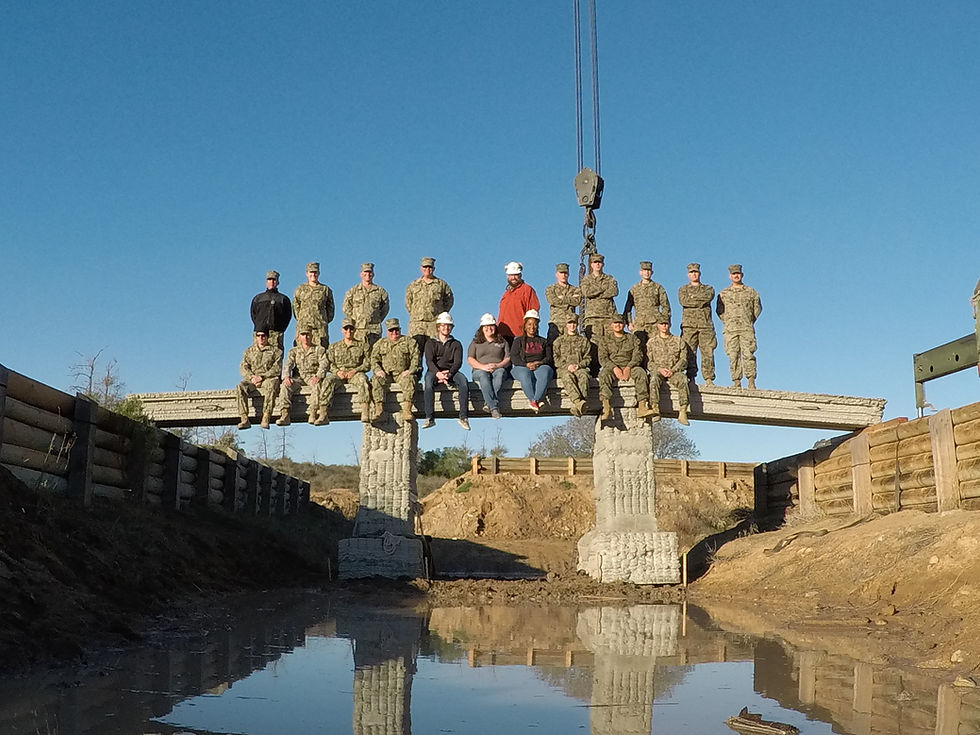
.jpg)
The river is shallow and meandering and it wasn’t until 1971 that the USACE completed an eight-year construction of the 445 mile (715 km) long McClellan-Kerr Arkansas River Navigation System (MKARNS) consisting of 18 locks and dams between the Mississippi River and the Port of Catoosa in Tulsa. The locks and dams vary between 14 and 54 feet (4.3 – 16.5 m) in lift to account for the 420-foot (130 m) drop in water level along its length. The resulting navigation channel is minimum 9 feet (2.7 m) deep by 250 feet (76 m) wide. Each lock is the standard 110 feet (34 m) wide by 600 feet (180 m) long to accommodate commercial river barge traffic.
Construction of the Tennessee-Tombigbee Waterway commenced in 1972 by USACE. It was completed 12 years later and opened in 1984, two years ahead of schedule. In all, it is roughly 450 miles (725 km) from the start of the Tenn-Tom Waterway on the Tennessee River to the Gulf of Mexico via primarily the Tombigbee River. It has a total of 15 locks and dams.

The above story is only a small, or even minute, portion of the river and waterway projects undertaken by USACE over the past two centuries. Pleasure boating as we know it today would simply not exist without the expertise and accomplishments of this organization.
And yet water-based projects are only one small part of their mandate. With around 37,000 employees, USACE is a separate government agency focused on engineering, construction, and disaster response and funded by Congress through the military, but it is not a part of the military structure per se. Only 3% of its employees are active duty military, the rest civilian.

It played major roles in all wars involving the United States including the War of 1812, World War I and World War II, Korea, Vietnam, and all Middle East wars, plus anywhere else in the world where the US Army is needed to build. It works at the front lines and behind the scenes designing and constructing buildings, bridges, roads, air fields, barracks, and fortifications plus infrastructure for all of the above including fresh water, food prep facilities, and sanitation. It has been involved in over 130 countries and in some cases contracts out its services and expertise to other nations.
Even though it has always been known as a ”doer” organization, it has a huge R&D component. Its research and development center, the Waterways Experiment Station located on 700 acres south of Vicksburg, Mississippi is headquarters for the Engineer Research and Development Center which, since 1929, has been the nation’s leading hydraulics (water) research facility specializing in flood control, shoreline and jetty protection, and beach erosion control. Vicksburg is the largest of USACE’s seven laboratories across the country.
Its Topographic Engineering Center lab at Fort Belvoir on the Potomac River in Virginia pioneered the use of geospatial positioning in the early years of the Global Positioning System (GPS).
Since the late 1800s and well into the 1900s USACE has responded to direction from Congress to prevent dumping, pollution, and in-filling of the nation’s rivers and harbors.
The following is just a hint of the waterway projects currently underway by USACE to the benefit of pleasure boating:
The Brazos Island Harbor Channel Project will deepen the Brownsville, Texas shipping channel and improve navigation
The Los Angeles River Ecosystem Project aims to restore ecosystems, improve water quality, and enhance recreational opportunities in the Los Angeles River
The Upper Mississippi River-Illinois Waterway System Navigation and Ecosystem Sustainability Program aims to improve navigation and ecosystem health in both of these waterways.
And a big one for pleasure boaters is USACE being responsible for maintaining and improving navigation including locks and harbors along the 12,000 miles (almost 20,000 km) of inland waterways throughout the United Sates.
It now becomes clear how this nearly invisible organization has played such a huge role in developing, maintaining, and improving the waterways we have come to accept and enjoy. We should all hope they will always be working on our behalf so we can enjoy our favourite pastime hassle-free. #culture #USACE


Comments